
Today
Showers And Thunderstorms
80 °F : 8 mph SW
Elevation: 696.03ft
80 °F : 8 mph SW
Elevation: 696.03ft

Today
Today
Today
Weather@Cornwall NY compiles official weather, environmental, and public safety information for the Greater Cornwall community.
These sources support local awareness, preparedness, response, public information, and environmental monitoring.
Official watches, warnings, advisories, forecasts, and weather alerts for Orange County and the Greater Cornwall area.
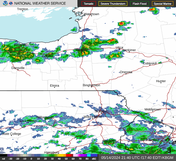
Regional radar products supporting awareness of precipitation, storms, and changing weather conditions.
Official air quality information and public health guidance supporting local air quality awareness.
Regional weather camera and environmental monitoring resources supporting local situational awareness.
Local public safety coordination, readiness information, and community emergency management awareness.
Local compilation and communication of weather and environmental information for the Greater Cornwall community.